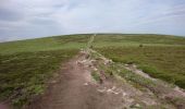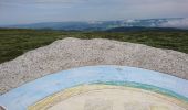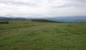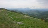

210617 - Mont Lozère

randodan
Gebruiker

Lengte
7,1 km

Max. hoogte
1699 m

Positief hoogteverschil
169 m

Km-Effort
9,3 km

Min. hoogte
1539 m

Negatief hoogteverschil
167 m
Boucle
Ja
Datum van aanmaak :
2021-06-17 08:13:26.287
Laatste wijziging :
2021-06-17 14:27:58.831
1h22
Moeilijkheid : Gemakkelijk

Gratisgps-wandelapplicatie
Over ons
Tocht Stappen van 7,1 km beschikbaar op Occitanië, Lozère, Mont Lozère et Goulet. Deze tocht wordt voorgesteld door randodan.
Beschrijving
D'après le circuit 26082020 de Amourette que je remercie.
Belle petite rando, facile, agréable même par temps couvert.
Plaatsbepaling
Land:
France
Regio :
Occitanië
Departement/Provincie :
Lozère
Gemeente :
Mont Lozère et Goulet
Locatie:
Mas-d'Orcières
Vertrek:(Dec)
Vertrek:(UTM)
561167 ; 4919274 (31T) N.
Opmerkingen
Wandeltochten in de omgeving
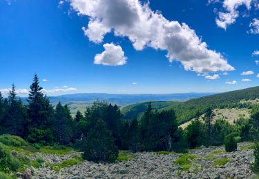
TOUR MONT LOZERE


Mountainbike
Zeer moeilijk
(1)
Cubières,
Occitanië,
Lozère,
France

38 km | 47 km-effort
3h 14min
Ja
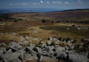
Les prairies du col de Finiels et des monts Lozere


Stappen
Medium
(1)
Mont Lozère et Goulet,
Occitanië,
Lozère,
France

7,2 km | 9,5 km-effort
2h 59min
Ja
Finiels/ sommet / station du Bleymard en boucle


Stappen
Moeilijk
Pont de Montvert - Sud Mont Lozère,
Occitanië,
Lozère,
France

20 km | 30 km-effort
5h 38min
Ja
Cévennes Mas Camargues Pont du Tarn


Stappen
Gemakkelijk
(1)
Pont de Montvert - Sud Mont Lozère,
Occitanië,
Lozère,
France

7,4 km | 8,6 km-effort
2h 7min
Ja

sources du tarn


Stappen
Medium
(1)
Mont Lozère et Goulet,
Occitanië,
Lozère,
France

13,3 km | 17,3 km-effort
3h 50min
Neen
SityTrail - lhopital


Te voet
Gemakkelijk
Pont de Montvert - Sud Mont Lozère,
Occitanië,
Lozère,
France

9,6 km | 11,8 km-effort
2h 41min
Neen
ETANG DE BARANDON PAR LA STATION DE SKI


Elektrische fiets
Medium
Cubières,
Occitanië,
Lozère,
France

31 km | 36 km-effort
2h 11min
Ja
Sentier de Mas Camargues


Te voet
Gemakkelijk
Pont de Montvert - Sud Mont Lozère,
Occitanië,
Lozère,
France

3,1 km | 3,9 km-effort
52min
Ja
chemin de Malevrère


Te voet
Gemakkelijk
Pont de Montvert - Sud Mont Lozère,
Occitanië,
Lozère,
France

3,1 km | 4,4 km-effort
1h 0min
Neen


 SityTrail


